
Associated Press
By Katie Fretland
Associated Press
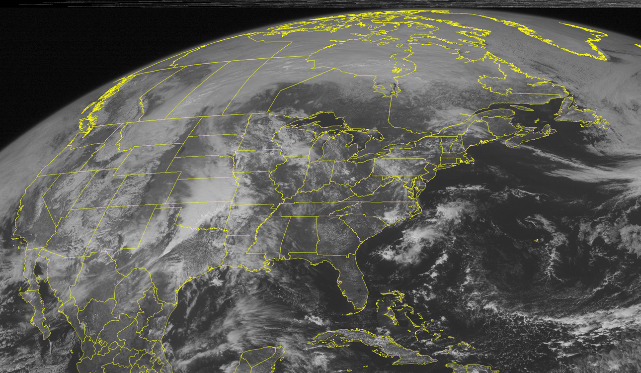
OKLAHOMA CITY— Storms are expected to sweep through the middle of the country over the next several days, bringing heavy rain and the threat of hail and tornadoes.
Flood warnings stretch from southeast Texas north through western Missouri on Monday, but after a year of drought in much of the region and a largely snowless winter, fears of flooding aren’t what they otherwise might be in several states, where the ground is expected to absorb inches of rain with ease.
The forecast for northern Texas and southeast Oklahoma also calls for baseball-sized hail, damaging winds and possibly tornadoes, according to the National Weather Service’s Storm Prediction Center in Norman, Okla. Two tornadoes damaged homes and rail cars in North Platte, Neb., on Sunday.
Eight inches of rain are expected in southeastern Kansas, which has been unusually dry for nearly a year.
The area has had less than three-fourths of the precipitation it typically gets since last April, state climatologist Mary Knapp said.
“We’re looking at maybe a week of rain in that part of the state,” she said. “That would be a very, very nice start to our spring season.”
Emergency management officials said they’re keeping an eye on the clouds but feel comfortable southeast Kansas can handle several days of rain.
“Right now we are relatively dry, so the first couple inches will probably not be a big deal,” said Labette County emergency management director Larry Steeby. “If we did get several more inches on top of that, preliminarily there would be some problems. But we’re in as good shape as we could be.”
In Arkansas, however, the Department of Emergency Management prepared teams to respond to floods forecasters warn could result from heavy rain.
The state has seen more rain than usual in the past two weeks, and vegetation is still dormant. Forecasters say heavy precipitation could run off and cause flash floods.
“This time of year, the soil cannot hold as much precipitation as it can later in the spring,” meteorologist Chris Buonanno said.
Emergency Management spokesman Tommy Jackson said drivers need to be careful because water overflowing from ditches and creeks could sweep their vehicles away.
“Turn around and don’t drown,” Jackson said.
Meanwhile, a heavy snow storm hit northern Arizona and California over the weekend, toppling a 100-foot-tall fir tree that crashed into a house, killing a sleeping 8-year-old girl in Arnold, Calif.


